· News
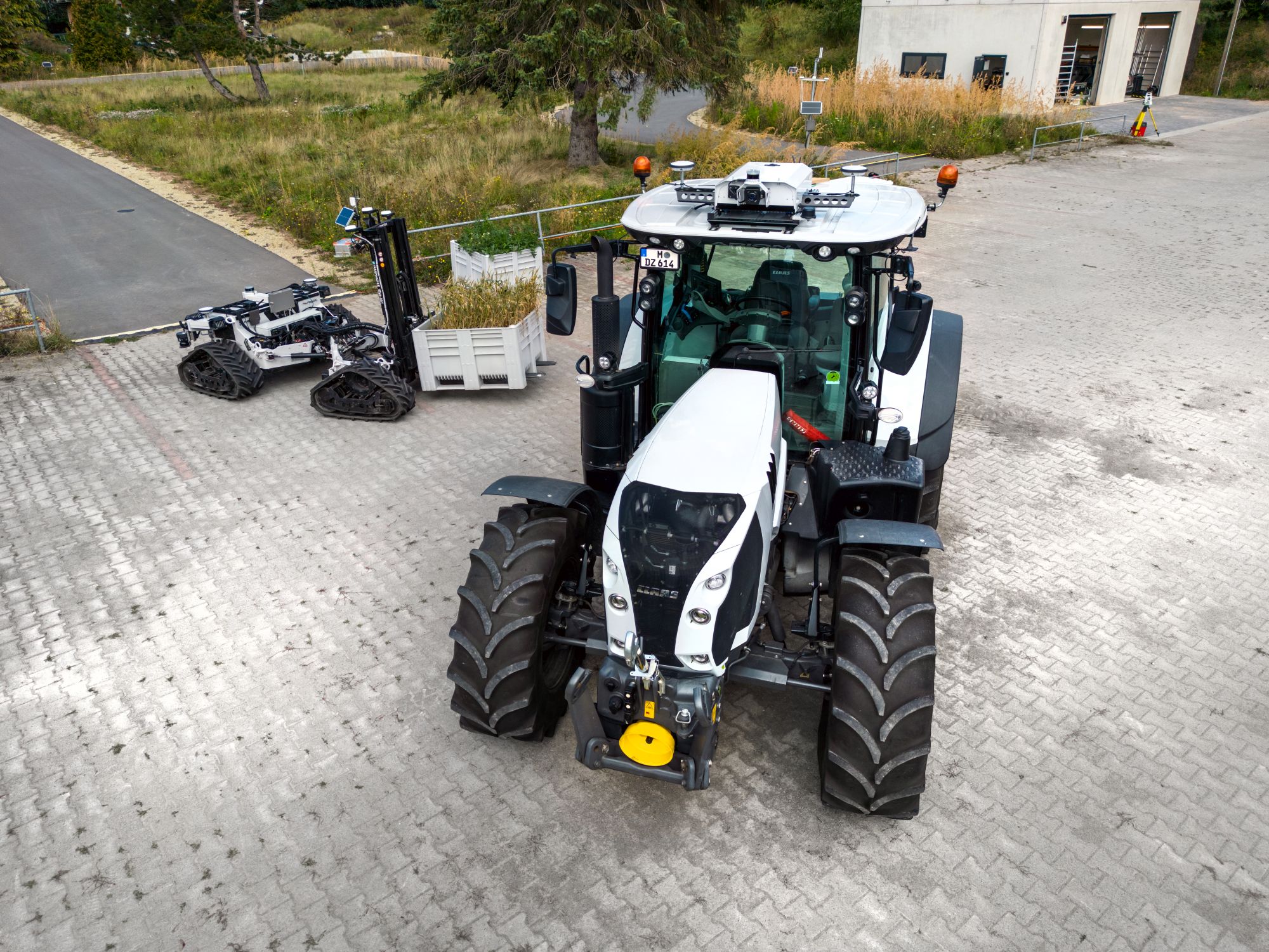
Multi-robot mapping in the real laboratory at Fraunhofer IOSB-AST
One of the project goals of the ROBDEKON competence center is to further develop multi-robot mapping. This technology should make it possible to generate collaborative maps of the potential operating environment using the heterogeneous systems used in a scenario. The resulting information should also be made usable for other target systems, such as other vehicles or robots. The robot systems are tested in various scenarios in the LivingLab in Ilmenau.
An exemplary scenario is the remediation of contaminated sites: The cooperation of the IOSB.Alice or the ARTER (Autonomous Rough Terrain Excavator Robot) from DFKI as soil sampler together with the MATS (Mobile Autonomous Transport System) transport vehicle allows synergies from the shared database to be used for localization. Terrain information that the transport vehicle has already collected can be used directly as a planning basis for the navigation and manipulation of the subsequent work machines. This is particularly relevant if the transport vehicle has placed loads that could present an obstacle for other machines.
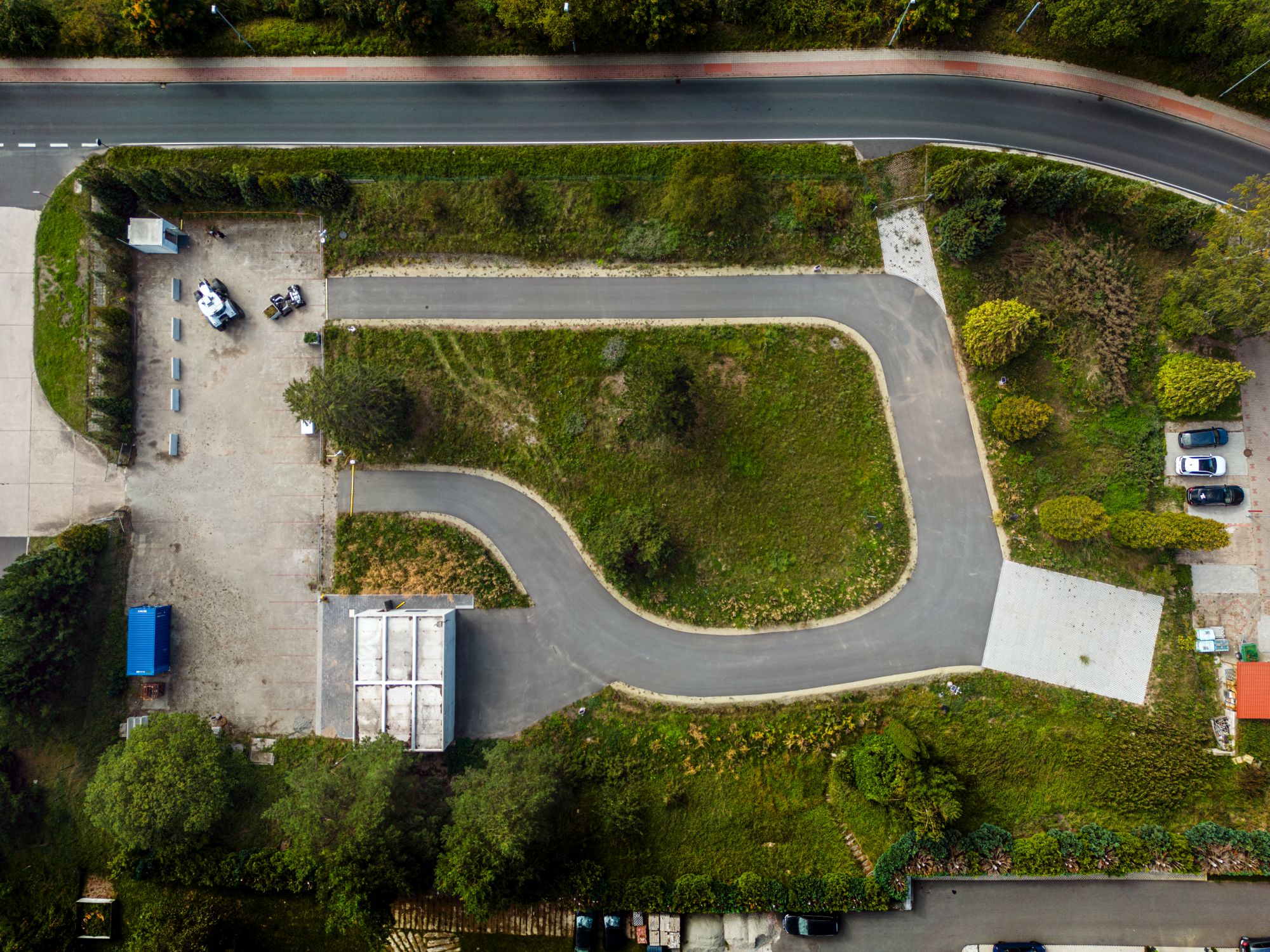
LivingLab for autonomous work machines
The Embedded Intelligent Systems (EIS) department of the Fraunhofer IOSB-AST in Ilmenau is contributing to solve this task by generating reference measurement data sets from the vehicles of the ROBDEKON LivingLab located there. The test areas of the “LivingLab for autonomous work machines” form the basis for this. The LivingLab is primarily used to develop and test new technologies for automated work with mobile autonomous machines. With a wide range of sensor equipment and state-of-the-art communication components such as O-RAN-capable 5G campus network technology, it offers the possibility of transferring large amounts of data between the edge components and the work equipment. Furthermore, with an area of approx. 6000 m², it serves to demonstrate newly developed technologies in order to accelerate the transfer to potential applications.
Surveying the site enables optimization of the systems
The site was recently surveyed using various systems. The database was recorded by the mobile robotic systems MATS and ARION using their environmental sensors, inertial measurement and RTK GPS systems. As ground truth, the position of the vehicles was added to the measurement data sets from high-precision robotic total stations. These should be useful for later accuracy and error analyses. Furthermore, the areas were geometrically recorded as georeferenced, colored 3D point clouds using terrestrial and airborne laser scanning. With the data obtained, a benchmarking of the developed algorithms can be established.